Define Group utilises extensive experience and high precision equipment to provide specialised surveying solutions across a wide range of industries. Working with a diverse client base, we can discuss how our expertise can service your specific needs.
SURVEYING SOFTWARE & EQUIPMENT
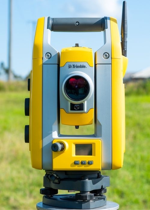
Here at Define Group we use quality surveying software and equipment to ensure accuracy and precision for the surveying services we provide.
Our surveying software and equipment includes:
High precision Trimble Total Stations and GNSS equipment
12d, Trimble and Topcon CAD and processing software
We provide a range of surveying services in Toowoomba, the Lockyer Valley, Darling Downs and throughout Queensland and northern New South Wales. If you have a question regarding the type of survey required, please contact our office and we can assist you.
Cadastral Surveying
We can assist with your Cadastral Survey needs from large scale subdivision, rural boundary reconfiguration, through to boundary identification for fencing or construction.
– Land Subdivision
– Boundary Realignment
– Secondary Interest Surveys
– Strata Tilting / Building Format Plans
– Volumetric Surveys
– Lease Surveys
– Identification Surveys.
Construction & Engineering Surveying
We can help deliver your civil or construction project from establishing initial site control, design set out, through to as constructed surveys.
– Civil Construction Setout
– Building Setout including excavations, footings, grid lines, form work, on slab.
– Bulk Earthworks Volumes
– Survey Control Networks
– Settlement Monitoring
– Deformation Monitoring
– Control Surveys
– As Constructed Surveys.
Contour & Detail Surveys
Allow us to help gather all of the information you need for your site study, engineering design or building project.
– Site detail & feature location
– Terrain Modelling / Land Contours
– Surveys in accordance with Department of Transport and Main Roads standards
– Creek Surveys / Flood Study Surveys.
Open Cut Mine Surveying
Allow us to apply our extensive mining experience to your site through our mine surveying services.
– Establishment of site survey control
– Set out of pit design for excavation
– Topographic surveys using GNSS, terrestrial scanners & LiDAR for volumes
– Month end reporting of waste and coal volumes
– Establishment of survey processes and procedures, training and mentoring of mine surveyors.